Grumble grumble rocks
2 July 2011
For the traverse of Col du Parpaillon today, Xiaoqin drove us to a starting point near Embrun. The view of the lake was nice, and I would quite like to return sometime.
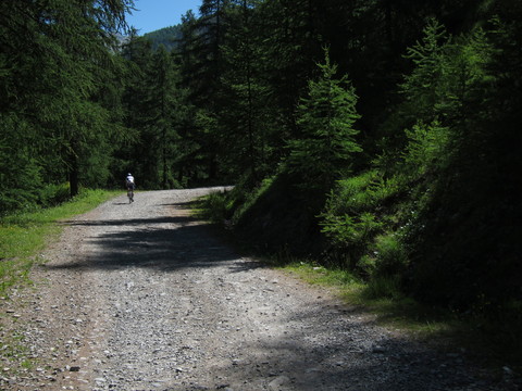
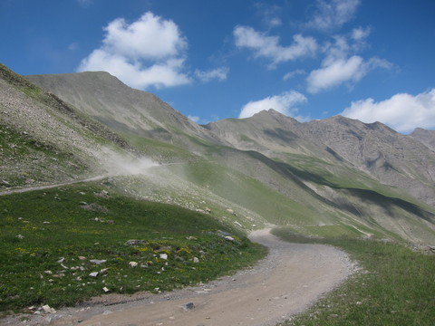
After a few hundred meters of climb the road turned to dirt and rocks, and it would stay that way for at least ten miles. Miles! I had to take the climb quite slowly.
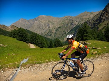
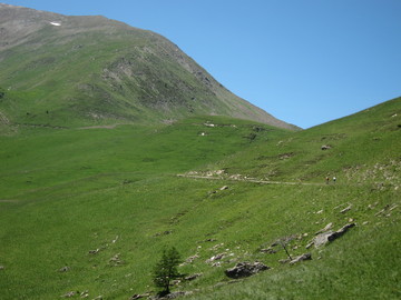
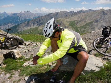
Along the climb we met a mountain biker who introduced himself as Arjan (he works at CERN). Arjan rode with us the rest of the way up to the summit. After some time the trees gave way to beautiful bright green fields, which reminded me of Swiss greenery.
We sat in the shade of an old house to eat lunch (crackers and pâté), then continued up to the pass.
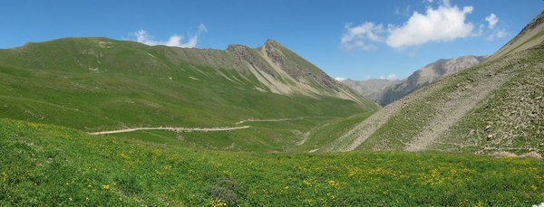
At the pass, there is a tunnel that is the last part of the traverse.
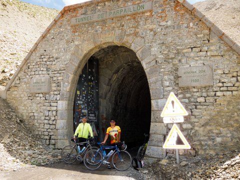
The tunnel was long, unlit, and still full of ice. Despite the fact that at the base of the mountain there were signs saying the tunnel was still closed to traffic, some motorists had gotten their car up here and tried to go through the tunnel. And gotten stuck in the ice.
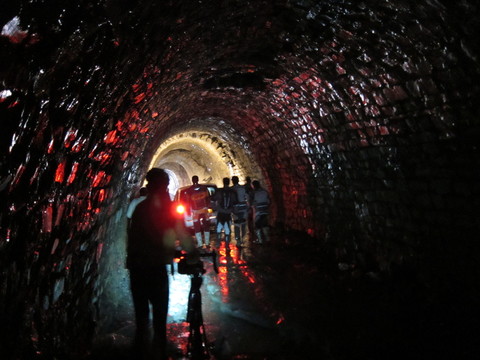
Fortunately, some motorcyclists had stopped to help the motorists.
Eventually, through some combination of wading through the water and walking on the ice, we made it through to the other end of the tunnel. (The motorists made it out too, in case you cared.)
The descent was terrifying. I kept the brakes on pretty much the whole way down, turning frequently to avoid rocks and dusty patches. Every so often I dismounted to let some ATVs pass.
On the way down I stopped to chat with some British cyclists who were resting. They seemed impressed that I had gotten up and down the mountain on road bike tires, but soon the Garmin Edge 800 caught their attention, and they asked the question that strikes fear into the hearts of engineers.
"Oh, is that a GPS? How does that work?"
A bit flustered from the descent, I froze, and in my head, started enumerating possible responses, starting with one that began, "Starting in the 1980's, the US government launched a constellation of 31 satellites into medium Earth orbit..." Eventually I settled on, "I loaded European road maps onto it and it tells you where you are."
After what seemed like an interminable descent on the road o' rocks, I arrived at paved road again and found Piaw. I believe that for some time, Col du Parpaillon will be the yardstick by which other off-roading will be measured.
We returned to Barcelonette uneventfully. When we returned, we went grocery shopping again, and at dinner I devoured a 2-course meal, and some ice cream. We had been noticing that France was the only place in Europe where the waiters/waitresses would actually bring you water without you asking for it— quite frequently, a whole pitcher of it— and they understood the concept of drinking still water from the tap rather than serving it from a stupidly expensive bottle.
Up | Next: best medieval faire ever